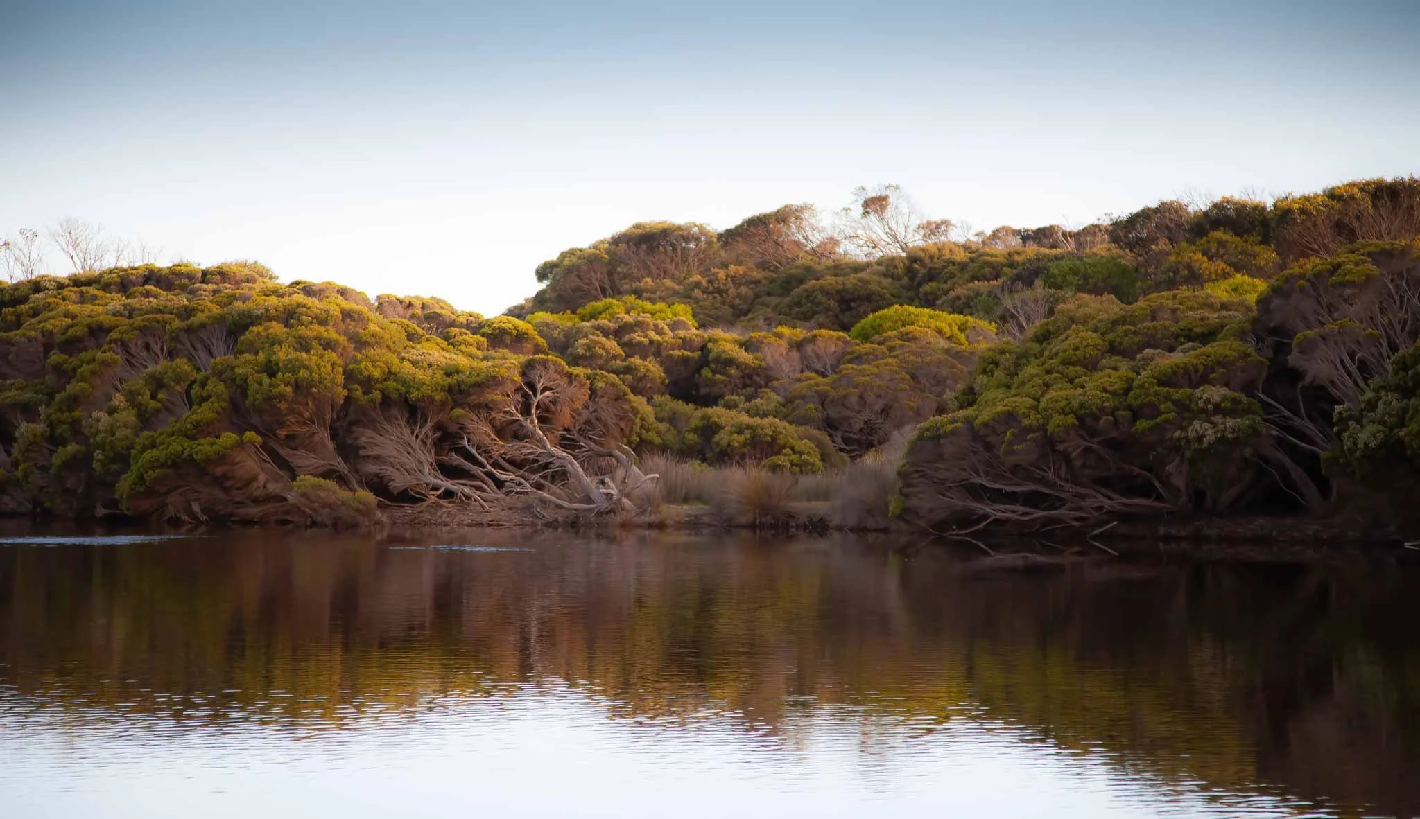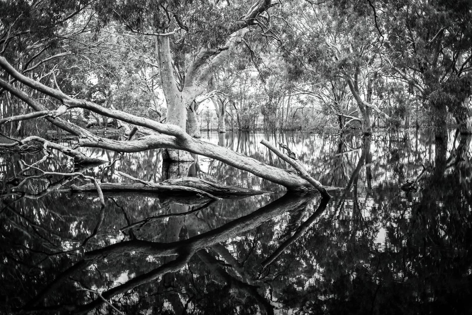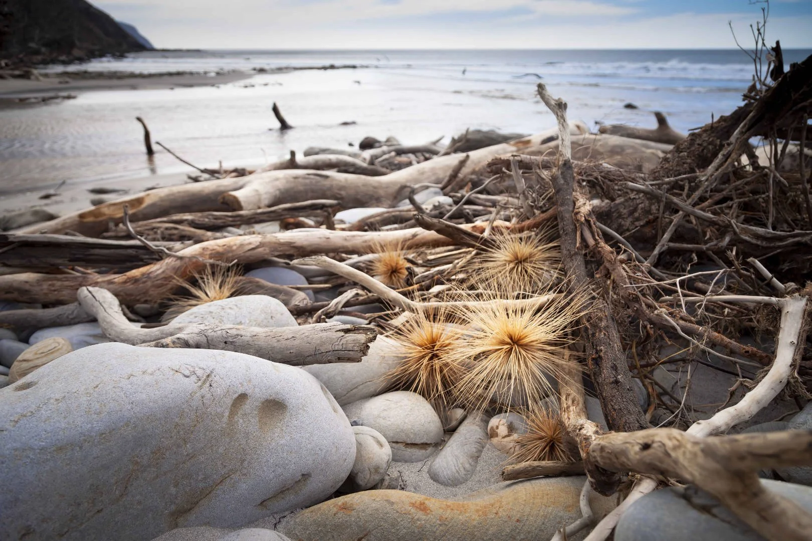
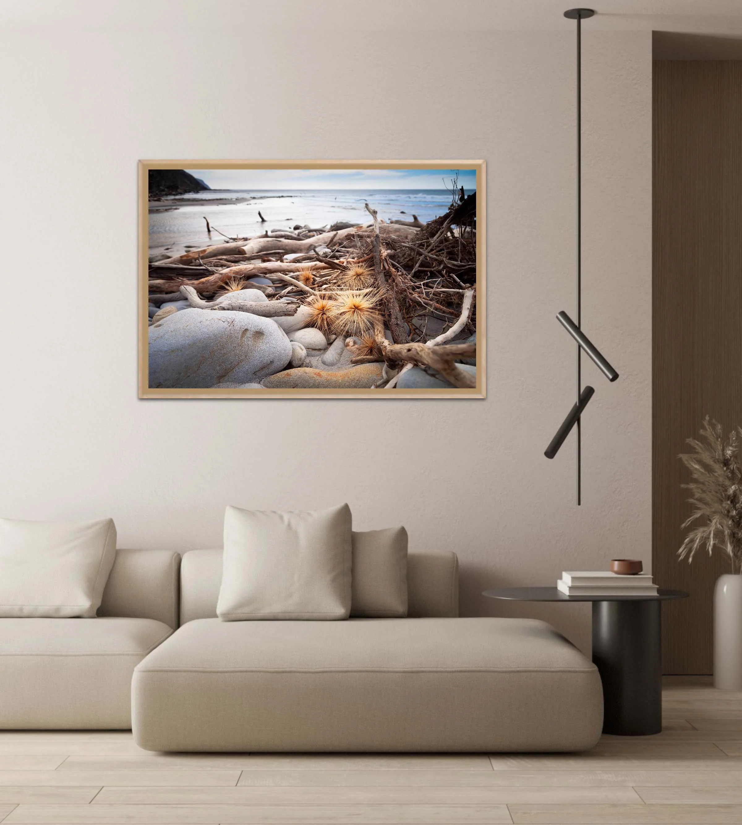
The late afternoon light on these golden seeds caught my eye, with the De Mole River Mouth a beautiful backdrop. The river is located on the north-western end of Kangaroo Island where it rises at an elevation of about 300 m just north of the Ravine Des Casoars Wilderness Protection Area, flowing in a west-north-westerly direction for about 11 km until it discharges into Investigator Strait near Cape Forbin.
The late afternoon light on these golden seeds caught my eye, with the De Mole River Mouth a beautiful backdrop. The river is located on the north-western end of Kangaroo Island where it rises at an elevation of about 300 m just north of the Ravine Des Casoars Wilderness Protection Area, flowing in a west-north-westerly direction for about 11 km until it discharges into Investigator Strait near Cape Forbin.